
INTRODUCTION
It is not easy to define Parkgate. It is neither a manor nor a parish and is therefore not strictly a village. Villages are likely to have been founded as long ago as the 5th or 6th centuries and generally spring up around a farmstead with a good water supply. They usually comprise a church, a parsonage, a manor house, fields, a tithe barn, a mill, a pub and, of course, dwellings.

Parkgate Street Map.
Though not strictly a village, Parkgate is a district of Neston.

Neston Street Map
Neston is considered to have been an agricultural settlement dating from the Saxon times and is listed in the Domesday Book of the 11th century. Historically, it included eight townships: Great Neston, Little Neston, Ness, Leighton, Raby, Ledsham, Willaston and Thornton Hough.
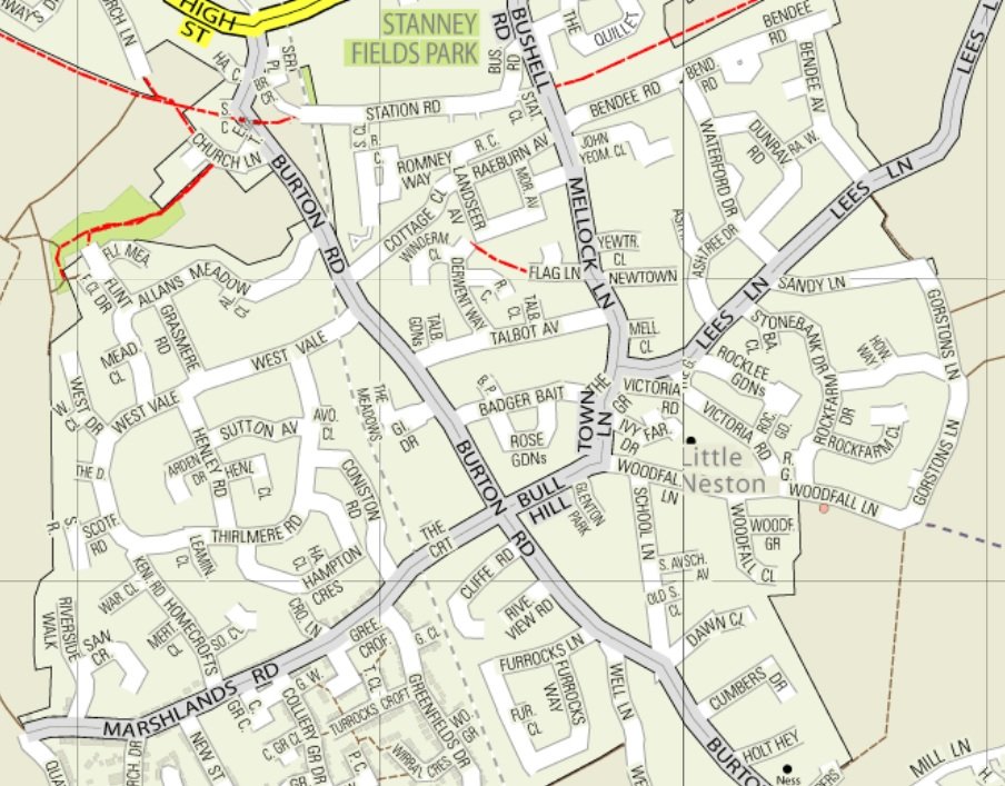
Little Neston Street Map
Note that references given in the following sections refer to publications listed in Further Reading